Cyclograde is a personal site, built in my spare time. I've been riding regularly since 2017, and what I enjoy most is heading into the mountains and discovering new places. On this page I tell you why and how Cyclograde came about.
The spark
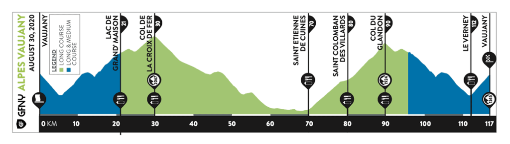
On 29 August 2021, at the GFNY Vaujany sportive (my first one), the organisers handed out a sticker with the elevation profile of the course, to stick on your bike frame. During the ride that little reference was hugely useful: at a glance you know where you are, what's coming, and above all how much climbing is left. That's when the idea of making my own profiles started to take shape.
The DIY approach
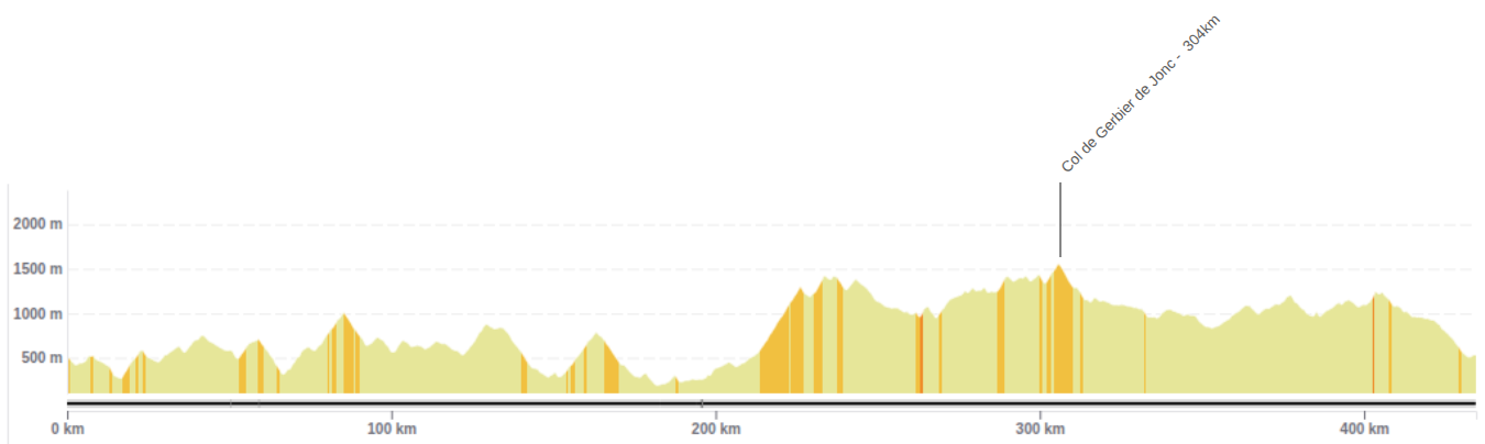
I started out making my own profiles by hand. I took an image generated by the OpenRunner site, then added the places along the way one by one, working out the distance to each of them. For l'Ardéchoise 2024, ridden over four days, I prepared four profiles, printed on sticker paper and stuck on the bike frame. The result was very handy during the ride; peeling them off afterwards, though, my frame clearly had something to say about it.
The discovery
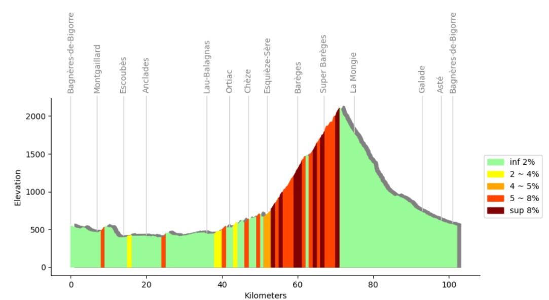
Shortly after l'Ardéchoise, I came across an article explaining how to generate an elevation profile with place names automatically. The original article is here. As a software developer the idea already appealed to me, but I hadn't taken the plunge yet. That article was clearly the trigger.
Estimating ride time
My rides are often limited by time. When I know I have two or three hours ahead of me, I look for tracks that fit into that window. One of the first things I added to my generated profiles was a time estimate. As a bonus, the profile also gave me split times, so I knew well before the end whether I was ahead of or behind my plan.
Building it
What started out as a small personal project turned into nearly two years of development. I spent a lot of time getting to know mapping tools, then the project grew into a full web app, designed to be shared. The original plan was left far behind. My regular rides let me test the generated profiles again and again, and adjust the features over time.
A real-world test - La Grande Route des Alpes
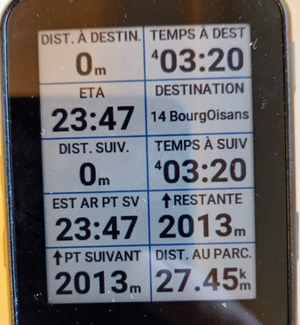
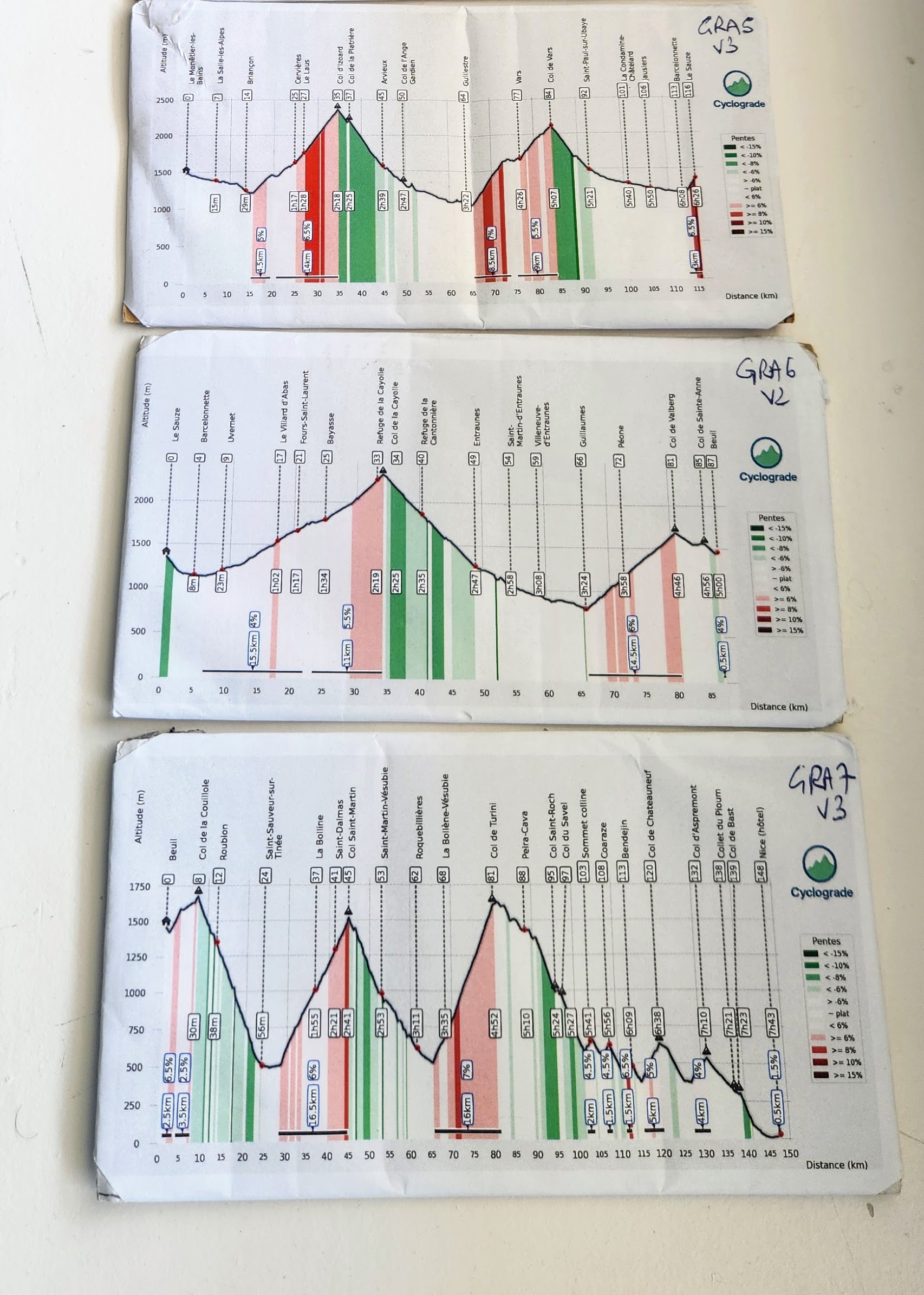
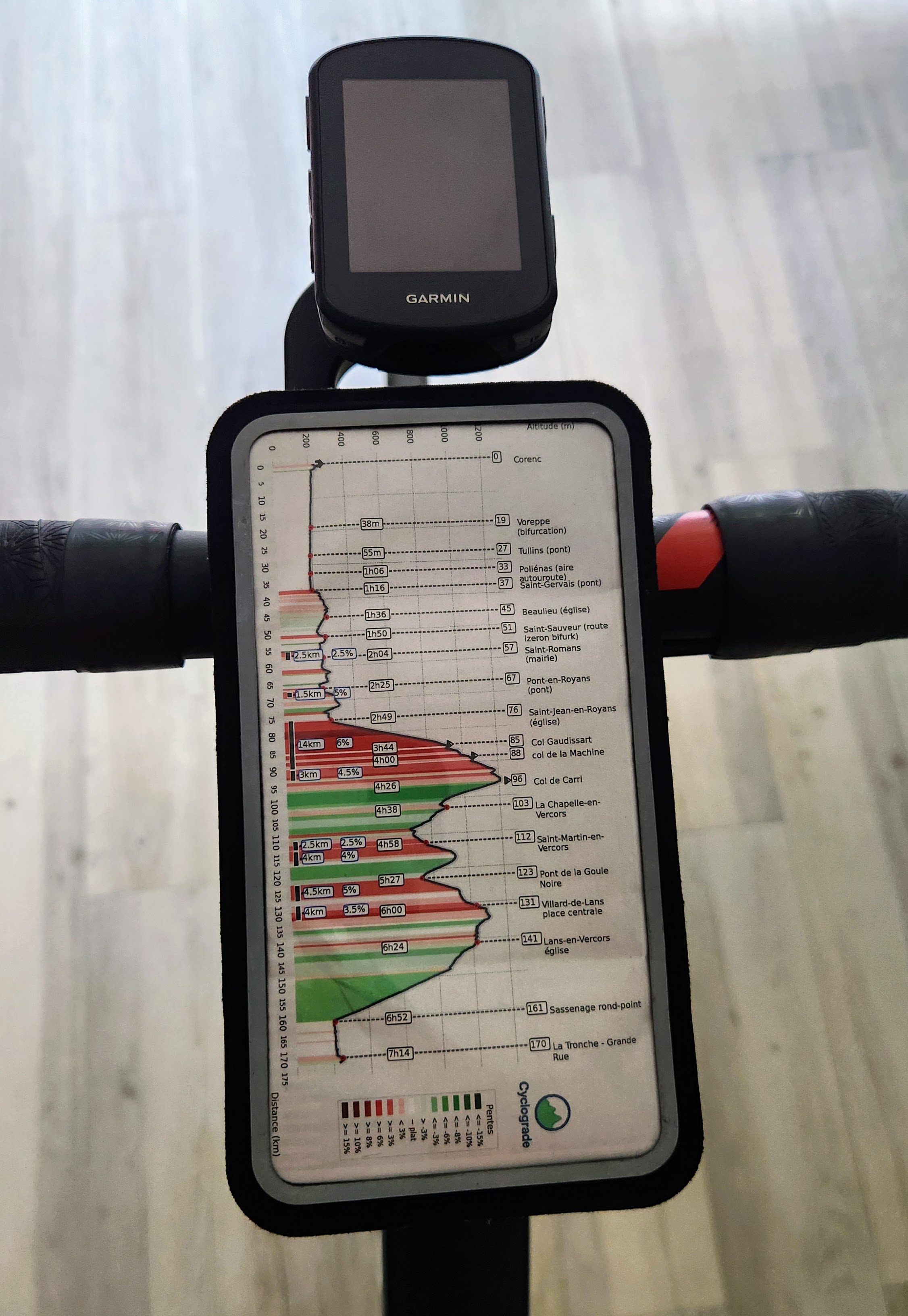
In September 2025 I printed "smartphone" format profiles generated by Cyclograde and mounted them on a bike mount for my whole crossing of the Grande Route des Alpes. On that trip they turned out to be extremely useful for pacing the effort, handling the cols back to back, and keeping a clear reference all day long. I was particularly impressed by how accurate the estimated times were, staying very close to reality over the whole route despite the long distances.
27 June 2026: the site goes public
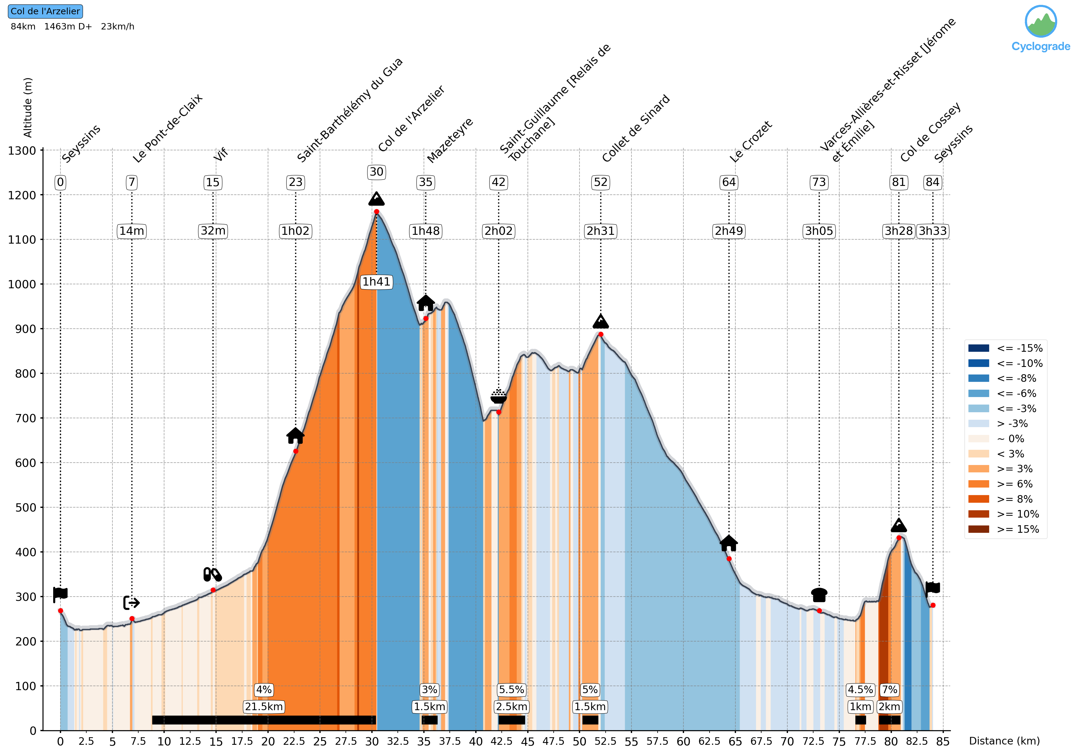
I'm glad to finally share this work. Whether you're just getting into cycling, preparing for your first sportive, or used to long days in the mountains, the goal is the same: to estimate how long your ride will take, help you picture your track better, pace your effort and ride with more peace of mind. I hope Cyclograde is useful to you, whatever your level. Enjoy the ride!